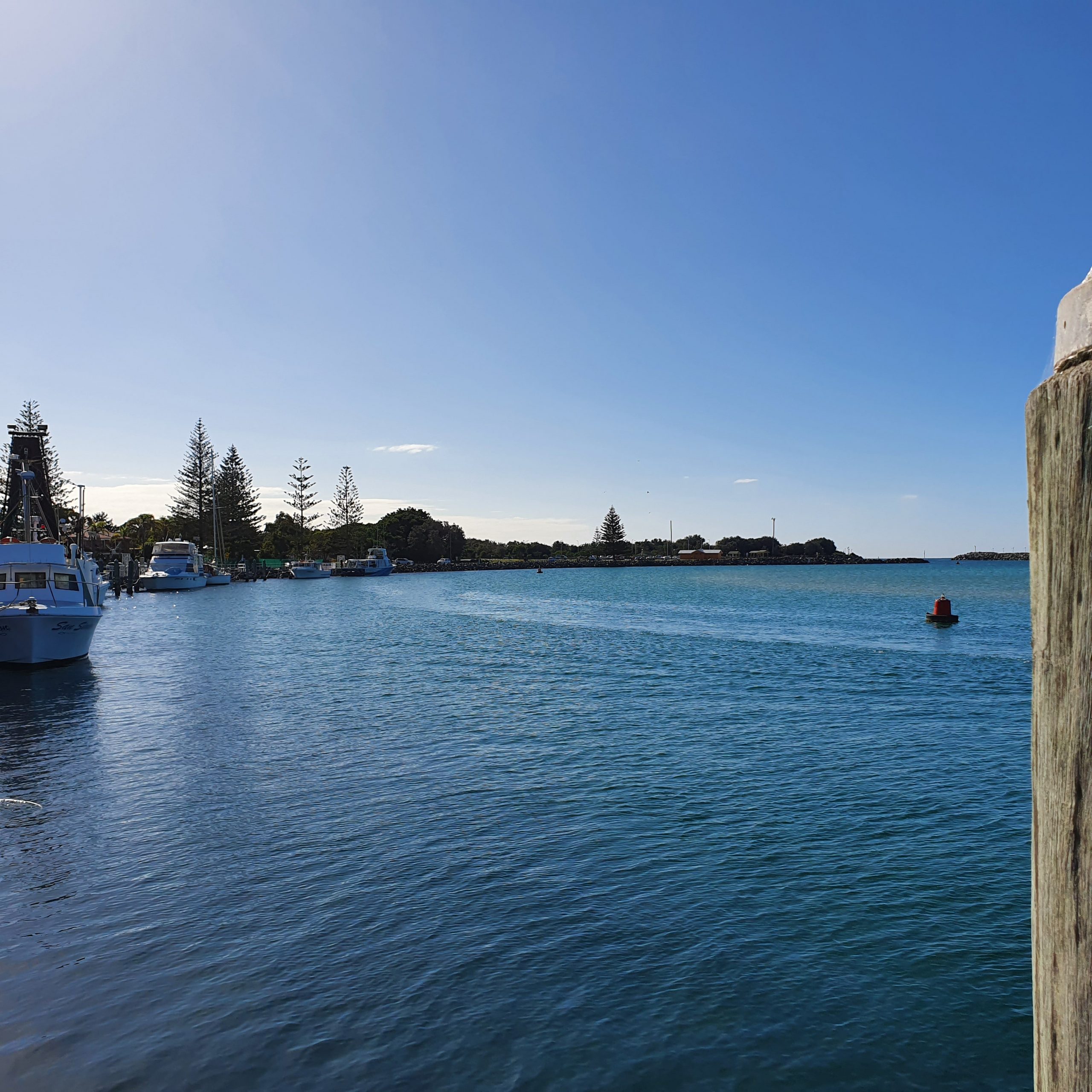
When we started on this adventure, I knew weather and tides would be a big factor for passage planning, but I think it’s fair to say I didn’t realise how much of an impact they could have until now. As at 22 July, we’ve been in Port Stephens for 12 days and staying put until another strong low pressure system passes. So with the weather conditions being as they are, it’s time for some passage replanning.
The images below – screenshots from BOM and Seabreeze ap – show how the low will affect the three areas of the NSW coast. You can see that swell and wind is increasing early next week. Currently we’re in the Hunter (Newcastle) region on the BOM map but our next few hops take us into the Macquarie region and then Coffs.
These three factors play a very important role in our passage planning (or passage replanning!)
Wind and swell are completely outside our control.
Tides are also outside our control as such, but we can decide whether to go to places that our passage is impacted by the tide. Our original passage plan was very dependent on tides.
Also, we don’t travel at night and we prefer to go out if swell is 2m or less and wind is no more than 15 knots.
Three key factors to be aware of
Original passage plan
Our original passage plan was something like this:
Original passage plan
The challenge was timing our entrance/exit at Forster-Tuncurry and Camden Haven/Laurieton to be on high tides, which is the safest time to cross a bar.
While Forster-Tuncurry doesn’t have a bar, it’s very shallow and water is fast running so the high tide offers depth and the slack (immediately before the tide turns) means the water doesn’t flow fast.
If you consider that we have to leave Forster-Tuncurry on a high tide and also enter Camden Haven/Laurieton on a high tide, with 5 hours’ passage time, and the time between high tides is about 12-13 hours, then you may see the timing dilemma!
But nevertheless, we still wanted to check out Forster-Tuncurry for ourselves. Maybe it would be ok or maybe I’d need to do some passage replanning.
Tide table example
Recce to Forster-Tuncurry
We hired a car and drove to Forster-Tuncurry, about 2 hours north of Port Stephens and a very picturesque area at the mouth of the Coolongolook River. This let us view the entrance first hand, and also check out options for where we could stay for a night or two.
We went to the Fisherman’s Co-op at Tuncurry first as they manage the berths you can see in the pictures below. There are also two swing moorings that you can use for an overnight stay on the north side of the river, although we’ve been advised that the water flows very rapidly through this area. With our big boat and the width of the channel, we were a bit unsure whether we could use these facilities, feeling that if the current swung us a certain way, we might block the channel under the bridge.
On the Forster side of the river, the marina would not be suitable as it’s too tight for us to navigate with no bow or stern thruster.
So we went in search of other places where we could stay for a night and avoid having to go into Forster-Tuncurry.
After a delicious seafood lunch in Forster, we drove down the coast near Smiths and Myall Lakes. We took a quick look at Elizabeth Beach in Booti Booti National park but our aim was to go to Seal Rocks and check out Boat Beach in Sugarloaf Bay. I’d heard this was a possible option for an anchorage and we had a great chat with a couple of locals about this beach.
Boat Beach is another scenic beach on the east coast. It occupies the north-facing Sugarloaf Bay and is protected from southerlies by 150 m high dune-capped hills behind. Prominent headlands border each end of the 550 m long beach, with Staris Rock reefs also lying off the eastern headland, resulting in wave averaging less than 1 m at the beach. We decided this was a better option for us.
We also took the opportunity to walk up to Sugarloaf Point lighthouse.
Alan Lucas (yachtsman and writer of boat cruising guides) provides great information about the NSW coast and explains that ocean anchorages are also known as ‘open road steads’. They are wide open to the north so not great in all weather conditions, but offer great protection from the south. He lists Boat Beach along with Hat Head (Korogoro Point) and Trial Bay as possible options to remaining at sea for a night rather than waiting for the right tide or for conditions to settle before crossing a river bar.
Also mentioned by Alan Lucas is Crowdy Head marina. Breakwaters were built in 1964 making it an all-weather harbour. The fishing fleet has pretty much moved out and when I rang Crowdy Harrington Marine Rescue for some local knowledge, they indicated min depth was 2m and we could tie up to the fuel jetty or use a vacant berth.
Updated passage plan
Staying at open road steads eliminates tides from the three factors we need to consider. So now we only have to worry about wind and swell, and while no less important it does mean that if we get some good weather we’re not at the mercy of tides as well.
As a result of passage replanning, our new plan will look something like the following, meaning we need a good 4 days weather to get to Coffs Harbour.
Passage replanning still offers backup options at Foster-Tuncurry or Camden Haven/Laurieton. So now I just need to draw this up on our charts and enter into the Garmin!
Did you actually anchor overnight at Boat Beach.
We are off Smoky and are thinking it may be an option to get in around 0200 tomorrow morning to sit out forecast southerly.
We’ve anchored off Boat Beach on two occasions, when heading north and then when returning south.
Be aware it might not be a perfect anchorage for you, but is reasonably protected from southerly conditions. There seems to be some roll when the tide changes. If you use Navionics, you should see my anchorage info on the second time we stopped there. Otherwise, details are: 32°.26.002’S, 152°.32.012’E.
Knowing less than nought about boating, I’m impressed by how much planning you do and how complex it is to do properly, which in itself must be an enjoyably stimulating brain exercise!


8 Responses
Did you actually anchor overnight at Boat Beach.
We are off Smoky and are thinking it may be an option to get in around 0200 tomorrow morning to sit out forecast southerly.
We’ve anchored off Boat Beach on two occasions, when heading north and then when returning south.
Be aware it might not be a perfect anchorage for you, but is reasonably protected from southerly conditions. There seems to be some roll when the tide changes. If you use Navionics, you should see my anchorage info on the second time we stopped there. Otherwise, details are: 32°.26.002’S, 152°.32.012’E.
Knowing less than nought about boating, I’m impressed by how much planning you do and how complex it is to do properly, which in itself must be an enjoyably stimulating brain exercise!
Very interesting, glad all your planning and preparation is paying off.
Best wishes for 4 days of calm seas. May
What a lot of planning goes into your travels. Thanks for sharing.
Wow. I didn’t know there was so much involved. Please stay safe.
My best wishes. Always. Xx