
There are two ways to get to Hobart from Triabunna:
- Travelling around the Tasman Peninsula and experiencing the full force of the Southern Ocean!
- Taking the Denison canal, which is shorter but not recommended without local knowledge nor for vessels drawing more than 2m, due to the shifting shoals and shallow areas.
On one hand felt it wouldn’t be a “proper” Poseidon adventure taking the shortcut. But the weather conditions after we left Triabunna were unrelenting, consistently delivering between 2.5m and 3+m waves. After watching and waiting for more than a week, we still couldn’t see a break in these conditions any time in the following two weeks and decided it was prudent to take the route through the Denison Canal. Our draft is only 1.4m and despite not having local knowledge, Marine and Safety Tasmania provide online information and a Navionics track. And besides, we have a lived experience of touching the bottom!
Our track from Triabunna to Hobart may look a little tortuous in the 90-second video below, but not without good reason! And after the video, there are some highlights for where we stayed and photos.
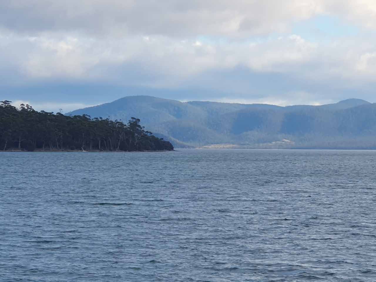
Maria Island (arrived 15 May)
After filling up with fuel at Triabunna, we made the 13 nautical mile (NM) trip to Maria Island. We anchored at the southern end of Shoal Bay where we were protected from winds and swell. And it was very windy for much of the six nights we were there.
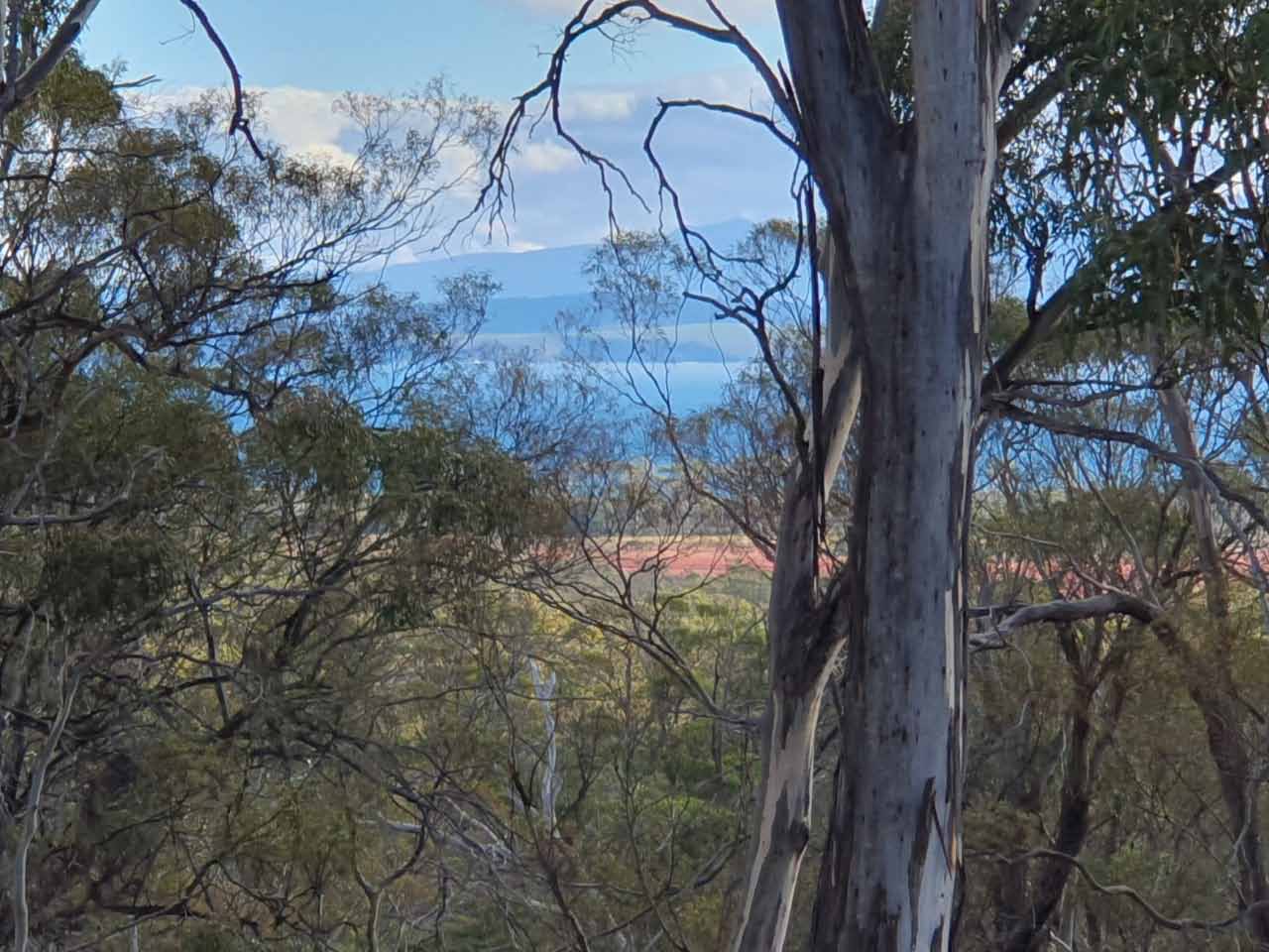
When the conditions presented, we took the opportunity to tender over to the beach and enjoy a walk north along Ocean Beach and across to Riedle Bay. In the right conditions, Riedle Bay would be a reasonable anchorage, but friends indicated it could be a bit tricky getting the tender to the beach there. A photo below shows the waves breaking on the beach! These photos are on our way to, and on Maria Island when we had good weather.
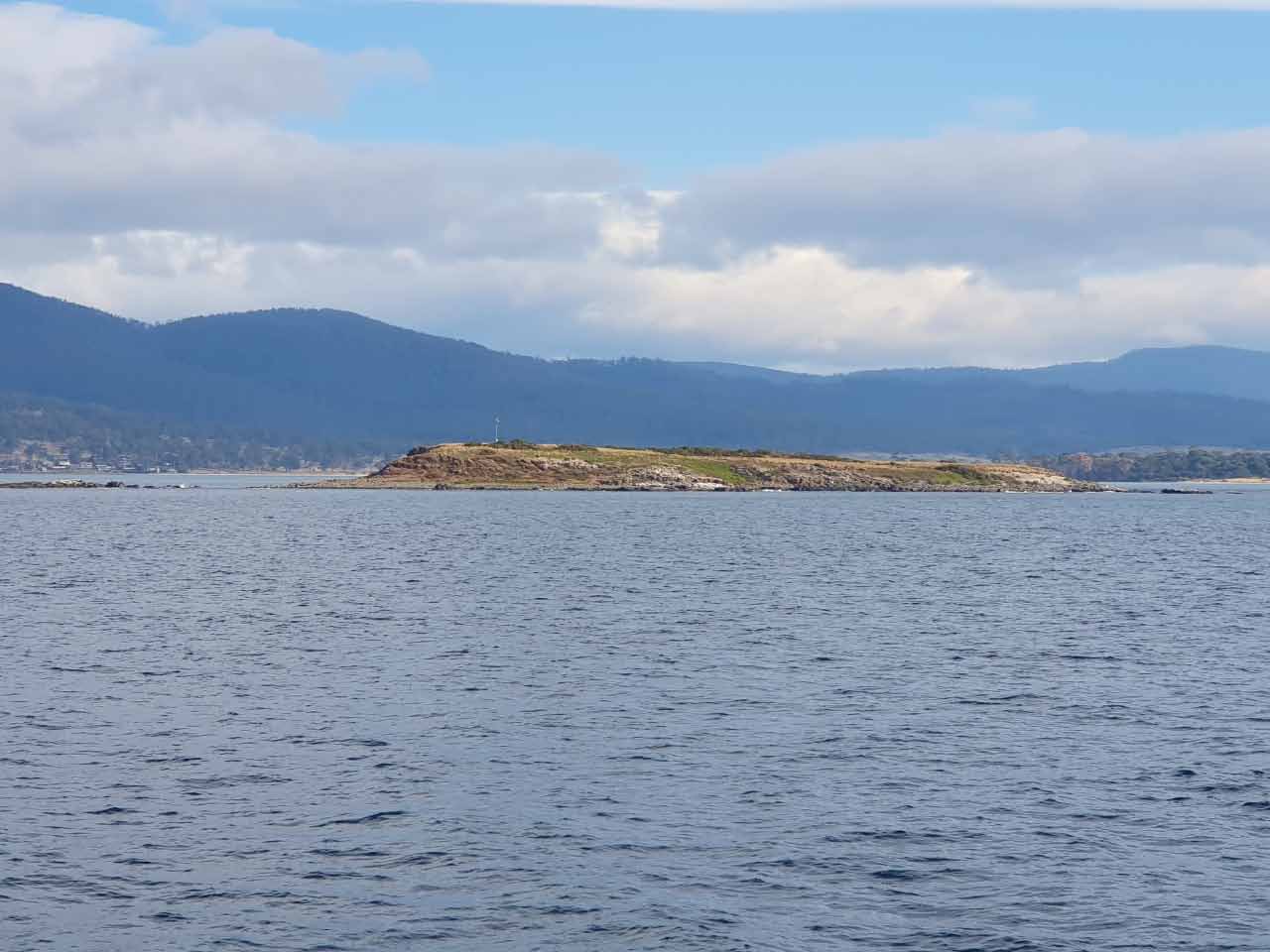
North Bay (arrived 20 May)
We left Maria Island with the view to anchor in Watsons Bay for a couple of nights and wait for the right tide conditions both at Marion Beach and Dunalley Bay. But we had problems getting the anchor to set in Watsons Bay. We had a number of failed attempts at this (and setting the anchor is not generally a problem) as well as finding a raggedy looking “Cousin Itt“! So we decided to head a little further south to North Bay instead, about 16 NM from our anchorage at Maria Island.
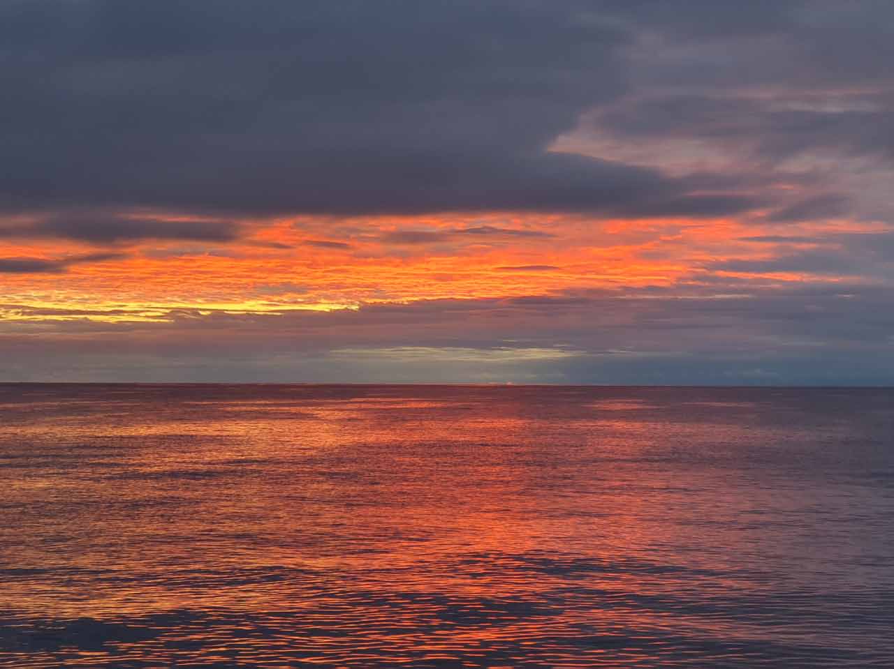
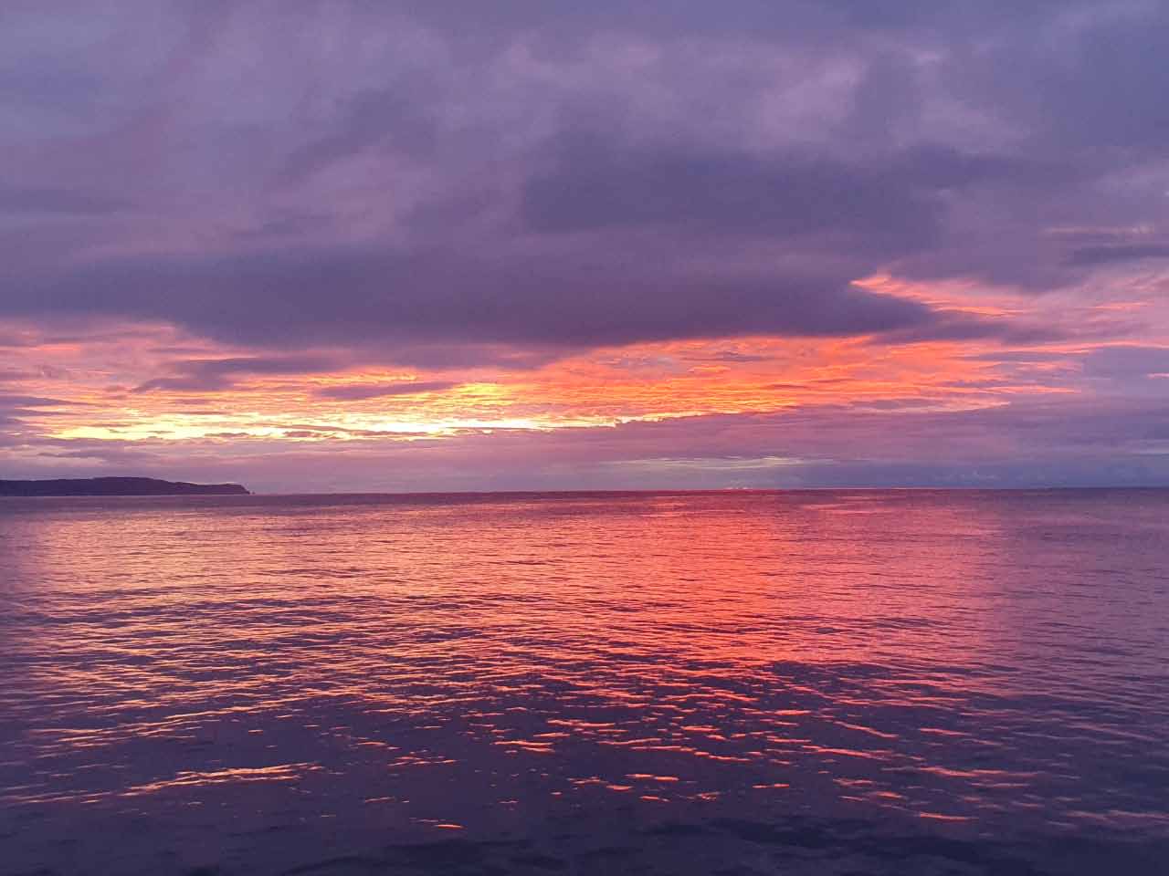
We used the flopper stoppers here to dampen the roll caused by swell wrapping around the point. The sun came out on our second day there and we had a pretty sunset.
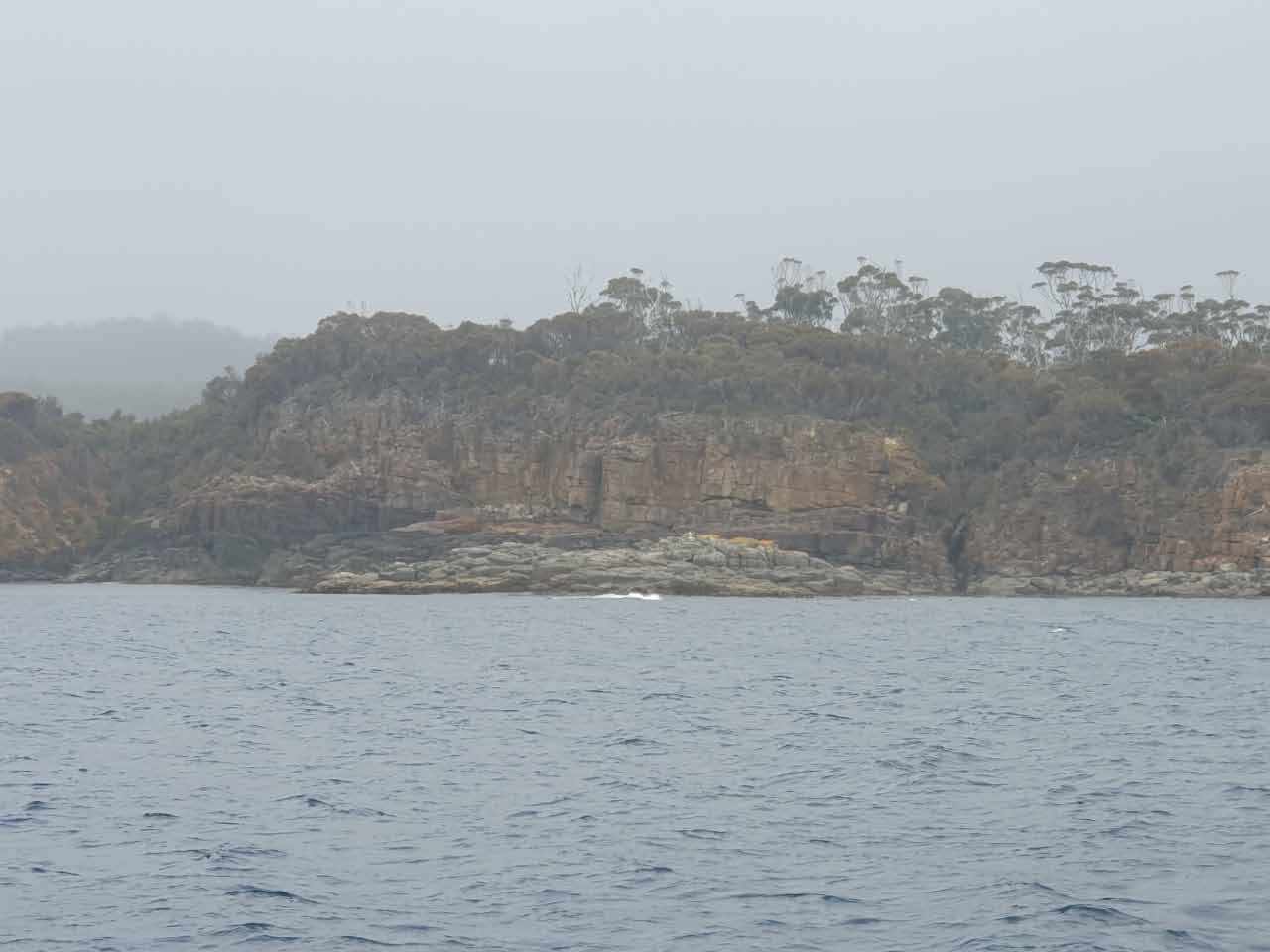
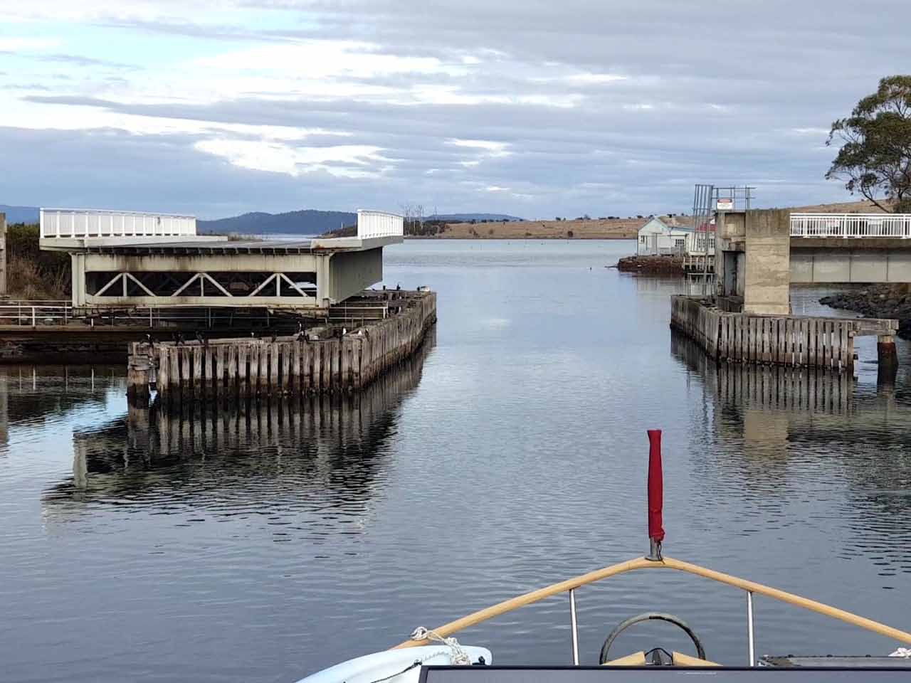
Dunalley and the Denison Canal (22 May)
Marine and Safety Tasmania (MAST) provides useful information about transiting Dunalley and Denison Canal here. I used this to help plan our route from Marion Beach to Denison Canal. I’d also been in touch with the bridge operator at Denison Canal and discussed the time of our passage. We planned to cross the bar at Marion Beach about an hour before high tide and traverse the shallow areas with a little tide still coming behind.
During our journey, we spotted what looked like a large house/castle on Boomer Island, and if you’re interested there’s a blog you might want to read, “A Real Life Super-Villain’s Fortress in Tasmania“.
When we reached Dunalley, we picked up a courtesy mooring and had brunch, before going through Denison Canal. We did this because tides flow in the other direction at this end of the bay and we didn’t want anything too fast flowing in this narrow canal.
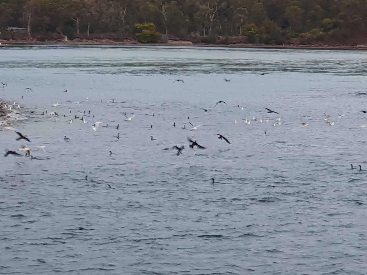
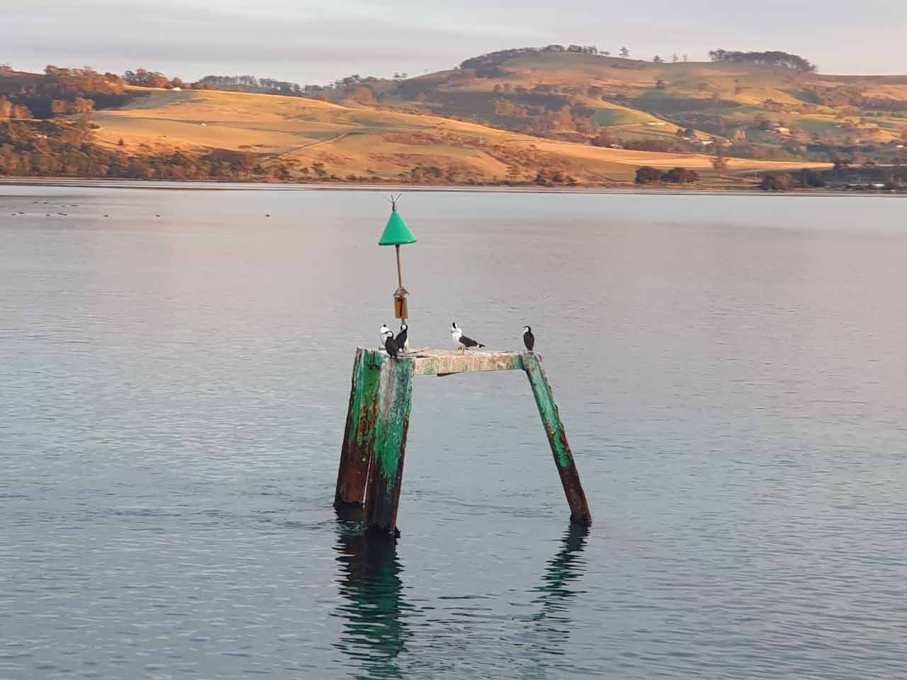
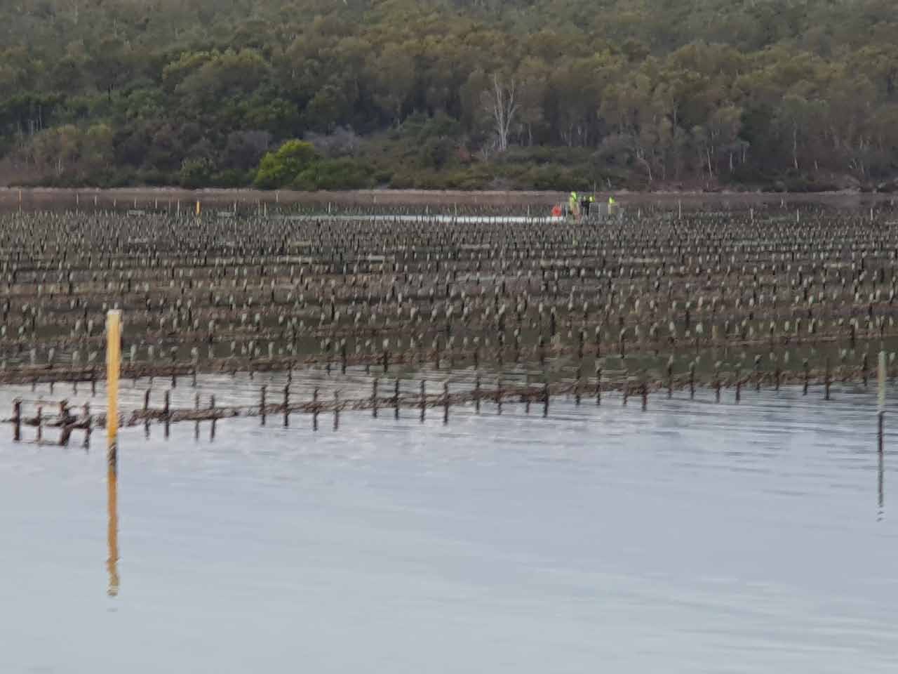
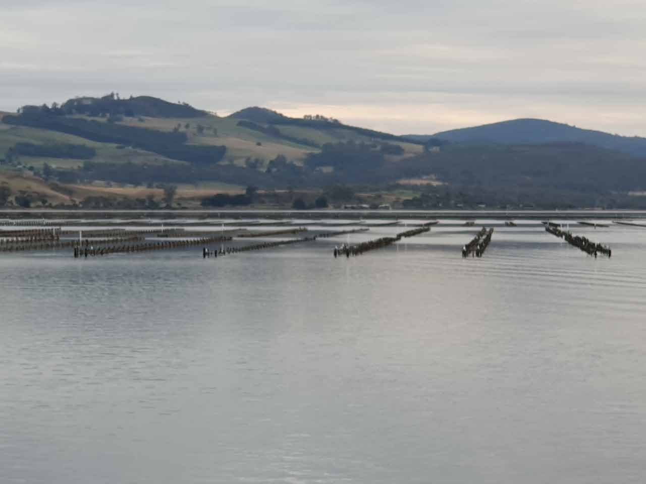
These photos are from North Bay to Dunalley. We regularly saw seals near the oyster leases, but I was too slow to capture them!
These photos are from our passage through Denison Canal.
Salem Bay (arrived 22 May)
After traversing the Denison Canal, we headed to Salem Bay and anchored near Saltwater River boat ramp.
With great weather, we took the opportunity to explore the Coal Mines Historic Site and take some of the self-guided walks. At its peak in the 1840s, over 600 convicts were stationed here, along with dozens of military and civil officers and their families.
When you see how isolated the area is, you can understand why so few convicts escaped.
Here are some photos of Salem Bay and the coal mines site.
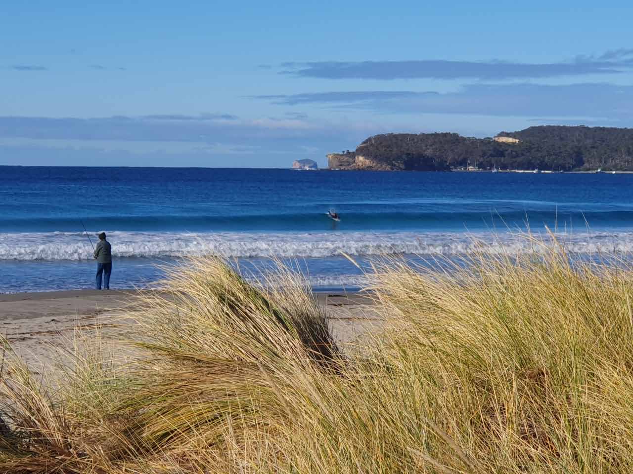
Eaglehawk Neck (arrived 25 May)
When anchoring at Eaglehawk Neck, we were greeted by two dolphins, who continued to visit us during our stay, and it was great to watch them swimming around.
Cracker night was also being celebrated in Tasmania on the night of our arrival, so we were treated to a fireworks demonstration.
With calm conditions and very little wind, we took the opportunity to go ashore for lunch and to do some sightseeing – including the Tessellated Pavement, Office Quarters Museum, and Dog Line. The tessellated pavement looks like man-made tiles, but is a natural phenomenon, found only in a few places on earth where rocks have fractured polygonal blocks
Taranna (arrived 27 May)
We used the MAST public mooring to stay overnight at Taranna before our planned route to Sloping Main.
I hadn’t realised how close we were to the Tasmania Chocolate Foundry, probably just as well! However, we visited there later when we returned from Port Arthur after a sightseeing trip and cruise around the Tasman Peninsula with our son!
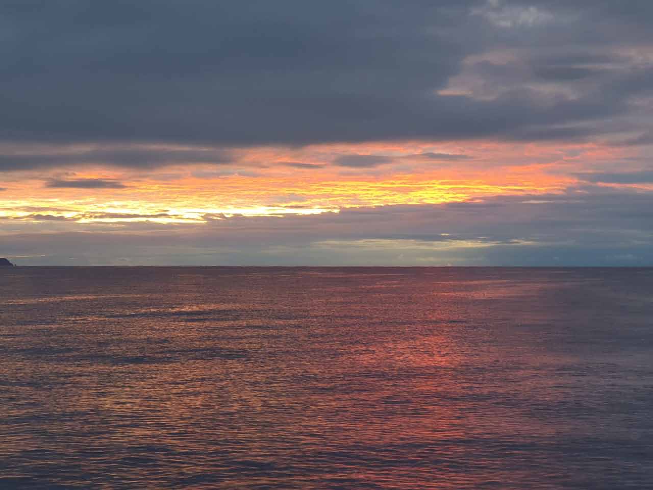
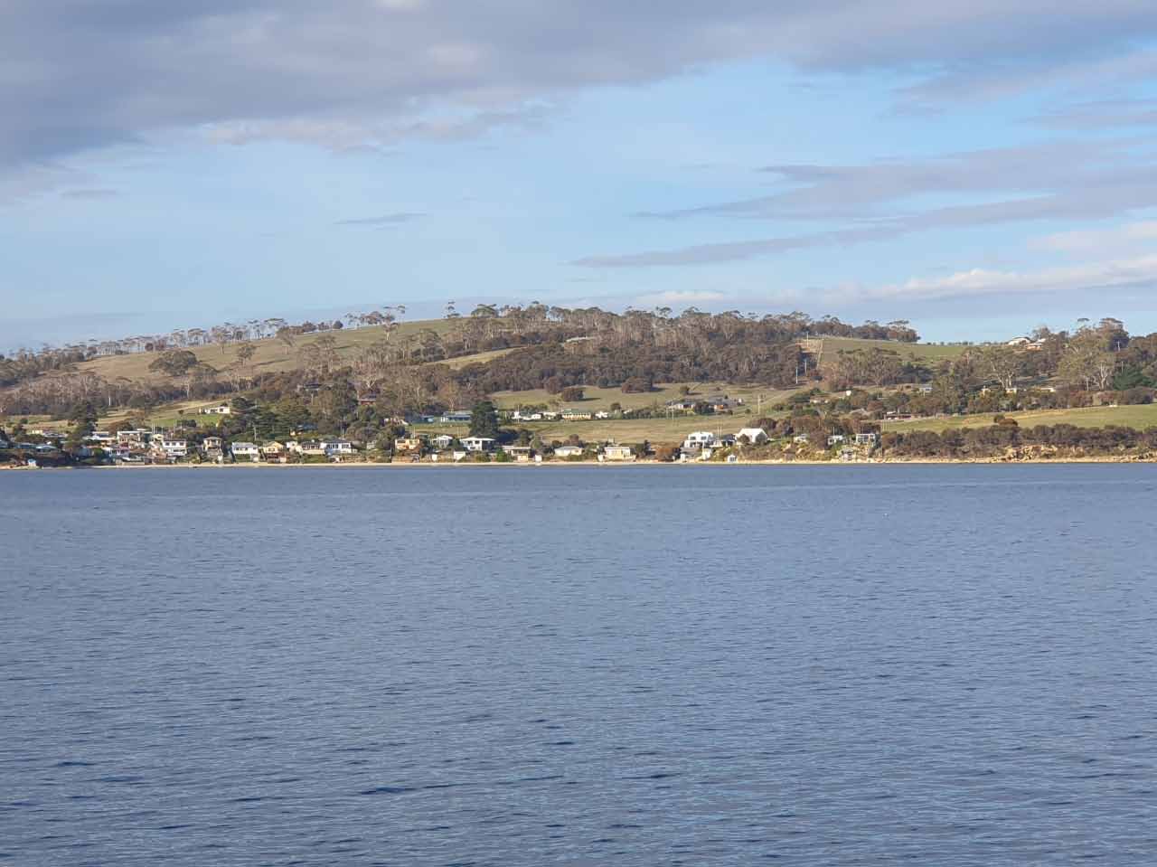
Royal Yacht Club of Tasmania, Sandy Bay (arrived 28 May)
After failing to set the anchor at Sloping Main and then the subsequent failure of our windlass, I was happy to go to the Royal Yacht Club of Tasmania marina.
We decided to stay for a week and took advantage of the close proximity of shops and restaurants. We also discovered Scoop Wholefoods with, among other things, an amazing selection of nuts and the best chocolate bullets I’ve tasted. I’ve even been back there a few times to restock!
We also experienced some amazing sunrises over Sandy Bay and the marina.
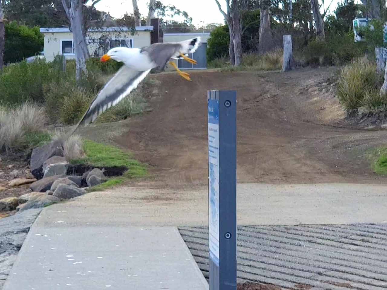
Kings Pier Marina, Hobart (arrived 4 June)
Kings Pier Marina is at Constitution Dock and we decided to stay here, in the heart of Hobart for a month. During this time we worked on the boat (as always), caught up with friends who visited, went to MONA, and enjoyed many restaurants in the area.
We also visited Winter Feast, a short walk from the dock, and I discovered mulled wine – and had a few too many!
There’s a problem with seagulls at the dock, masses of them, and TasPorts and have been trialling a sprinkler system. They go off for 2-3 minutes from about 3:30pm, hourly until about 6:30am. The signage may not be as visible as it could be – we saw a few people surprised by the sprinklers! Also, on some of the really cold mornings, ice formed on the dock, as a result of the sprinklers. This confirms a known adage – all problems are caused by change!
Relevance of the blog title
There’s an expression that a “one dog night” means it’s so cold you need one dog in bed with you to keep warm. And of course there’s a a two dog night meaning you need two dogs, and so on. We only have cats on board, and we’ve had many “two cat nights” but I’m not sure who gains the most – them or us!
Where to next?
We’re staying around the Hobart area until 9 August, when we get the boat lifted out of the water at Oyster Cover Marina, Kettering. We’ve got lots of work planned, some that we’ll do and some we’ll pay people to complete for us. Stay tuned for that blog.
5 Responses
What an interesting place Tasmania is. The Tessellated Pavement is remarkable.
Always in awe of your travels.
Continue enjoying everything.
Love
Rob & Chicka
Another challenging trip. Looks like you are still enjoying. Fabulous blog & amazing photos. We are now looking forward to warmer weather. Continue to have a safe trip😘
Another brilliant blog Pam with beautiful photos xx
Yay, my home town. Love the pics etc. Smooth sailing guys x