
I always try to have different anchorage options when I plan a passage. This is so that if there are significant weather changes or something goes wrong, we can anchor or stop elsewhere. And to date we’ve been lucky insofar as we haven’t really had to change our plans too much. But this wasn’t the case when we left St Helens!
Our original plan was as follows:
- St Helens to Great Musselroe Bay
- Great Musselroe Bay to Spike Bay, on the west side of Clarke Island
- Spike Bay to Trousers Bay, on the west side of Flinders Island
- Trousers Bay to Killiecrankie, on the north-west side of Flinders Island ready to cross Bass Strait
Here’s our actual route from St Helens to Prime Seal Island, where we ended up positioning ourselves to cross Bass Strait. We ended up having a number of days with strong or gale wind warnings, coming from the west. This meant that our planned anchorages on the west side of islands would be exposed to the wind and bigger waves that accompany the wind.
St Helens to Great Musselroe Bay (day 1, plan A)
We left our overnight anchorage at St Helens on Thursday 31 October about an hour before high tide so we could navigate the shallow channel and cross the bar with some tide still coming in. We then turned to port and started our trip up the coast to Great Musselroe Bay (our plan A). It was about 37NM and took us 5.5 hours. We arrived at 1.15pm, had a cuppa, and decided this anchorage would be uncomfortable for the rest of the day/overnight.
The weather conditions weren’t as predicted, and in fact, they’d hadn’t been as expected during the trip from St Helens. This video gives you a glimpse of the conditions along the way.
During our discussion about whether to stay at Great Musselroe Bay, we checked weather for Banks Strait and made the call to cross and anchor on the east side of Forsyth Island. The reference material I had indicated Forsyth Island would be a good anchorage, protected from westerly conditions. This became our plan B.
Great Musselroe Bay to Forsyth Island (day 1, plan B)
Banks Strait was not as calm as when we came south earlier in the year, but certainly good enough for us to cross. The short video and screenshot from my Windy app below show the conditions. While it looked better to cross on 1 November, we didn’t want to risk the conditions that were coming (Sunday/Monday) arriving earlier than forecast.
About 3.5 hours after leaving Great Musselroe Bay, we reached Forsyth Island and at this time, wind and waves were still coming from the south. We stopped and saw substantial waves coming through the channel and decided this would not be safe for us.
We checked our charts and it’s quite shallow behind (to the north of) Forsyth Island, but it looked like we could carefully go into Kent Bay. This became our plan C.

Anchoring at Kent Bay (day 1, plan C)
We nudged our way into Kent Bay and set the anchor and anchor drag alarm. Coincidentally, I explained our anchoring technique in my previous blog, Into St Helens to get fuel.
There were lots of shallow/weedy patches around, but there were no visible dangers/rocks/boats nearby, and we were a good distance from the shore. The wind had calmed and the sunset, at around 7:45pm, was colourful.
Since it had been quite a long day, we opted for an early night. It’s amazing how tired you can get sitting in the pilot house making a passage!
Note: I took no other photos on this day due to inclement weather.

And then this happened!
At 4am, our anchor drag alarm sounded. We pretty much levitated off the bed and raced up to the pilot house to see what was happening. Watching our position on the Garmin chart plotter, we were clearly dragging at quite a speed. I switched on the engines and kept us in position while Robert dressed, got the torch for better visibility, headsets so we could talk to each other, and went out on deck to raise and reset the anchor. With no visibility outside, I used our chart plotter to slowly motor back to where we thought the anchor would be. Robert was also guiding me and he raised the anchor. We motored to another nearby location and tried to set the anchor again. We made several attempts before we felt it was successfully set but there was no more sleep that night!
This was our first legitimate anchor drag. Previous times the alarm has sounded due to the anchor mark being incorrectly placed and the radius being too short.
We think that what had happened was during the night the wind had changed direction by 180° and had picked up. When we swung around with the wind, the anchor didn’t reset in the new direction and therefore we dragged.
The next image shows our original anchor position and the track we created when dragging. I calculated this as a little over 300m and was amazed at the speed that this happened. The darker colour in the photo indicates very shallow water and we didn’t want to hit this area in case we got stuck.
The new anchor position seemed to be holding, and you can see the green circle around the anchor.
It turned out to be good holding at this point and we stayed for another day until conditions improved.

For most of the day on 1 November, it was very windy, as you’ll hear in this short video. We were pulling back on our anchor but never moved, thankfully, so pretty confident that we’d lowered the anchor in a sandy patch.
Towards the end of the day, conditions were starting to ease, and we decided that we’d make our way to Prime Seal Island in the morning.
Here are some other photos taken around Kent Bay (no captions) and the sunset was particularly stunning.
To Prime Seal Island
On 2 November, we left Kent Bay and headed to Prime Seal Island. The conditions were forecast to get worse, with stronger winds coming from the west.
We took the opportunity while it was still relatively calm to move. We’ve been advised that the western side of Prime Seal Island offers good protection.
The route we took gave us views of the eastern side of Preservation Island and took us north along the east coast of Flinders Island. It was about 46NM and took us a little over 6 hours.
Here are some photos I took on our way from Kent Bay to Prime Seal Island.
When we arrived at Prime Seal Island, it was relatively calm as you can see in the first video below. But strong winds picked up and we didn’t get onto the island. If you want a better look, check out the other video below from the Reef Knot Sailing YouTube channel.
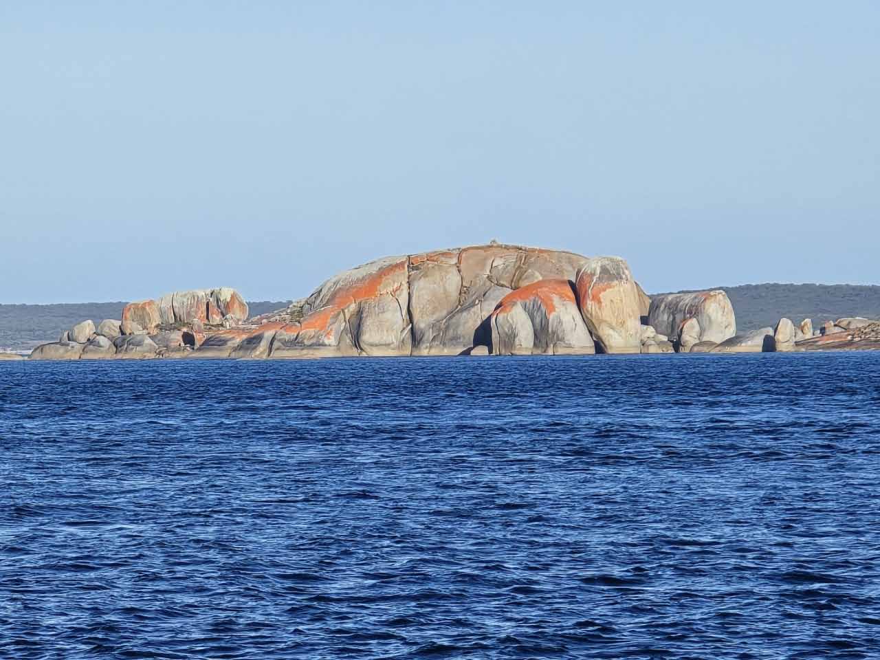
Here are photos taken while at Prime Seal Island, where we stayed for three nights. When we refueled at St Helens, we put about 250l of diesel into our fuel bladder. By the time we reached Prime Seal Island we were able to transfer this into the tanks.
Where to next?
We’ll be crossing Bass Strait, again!
3 Responses
The video about Prime Seal Island was interesting. A shame that you weren’t able to explore it.
More challenges which you conquered ! Well done.
Wishing you all the best got Christmas & safe travels in 2025
I am in awe.
You two are so adventurous. I’d be so panicky when alarms go off.
Enjoy you time in Melbourne. Wishing you both a Merry Christmas and a safe and healthy 2025.
P & D